 One Bright Space
A cadastral timelapse
Costa del Sol,
1930 → today.
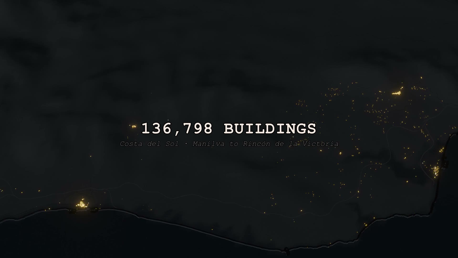
136,798 buildings along a hundred kilometres of coast, each one lit in the year it was built.
Scroll
136,798 buildings along a hundred kilometres of coast, each one lit in the year it was built.
Every building on the Costa del Sol, lit up in the year it appeared. The footprints come from the Spanish cadastre for twelve municipalities, Manilva to Rincón de la Victoria; each was given a construction year and rendered as the coast grows from a handful of fishing villages into a continuous strip of light.
The Costa del Sol's story is usually told in anecdotes — Torremolinos and the first package holidays, Marbella and the jet set, the 1980s boom. The cadastre holds the actual record, and nobody had turned it into something you could watch.
Ten shots, two minutes twenty-five. Years and building counts are burned in as the coast fills. Best full-screen, lights off.
Manilva, Estepona, Marbella, Mijas, Fuengirola, Benalmádena, Torremolinos and Málaga growing in sync — the same years ticking for every municipality at once.
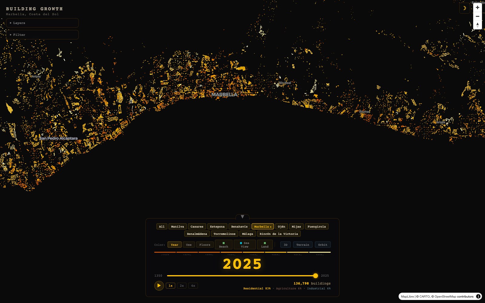
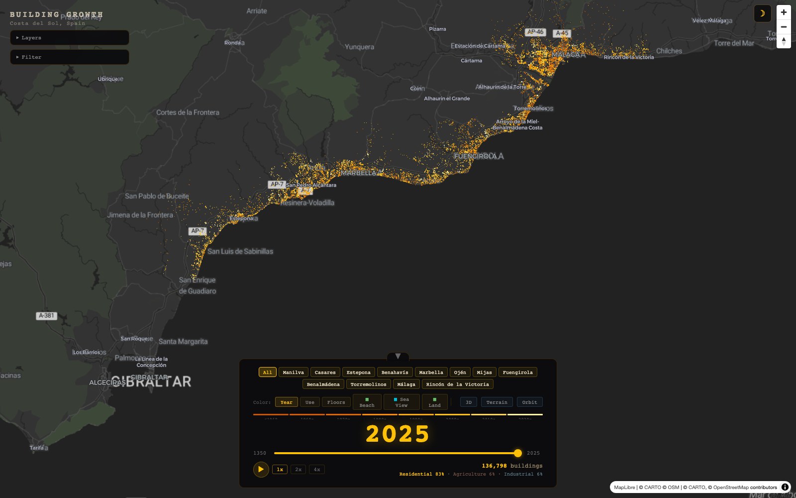
All 136,798 buildings as vector tiles: scrub by year, colour by use or floors, toggle beaches, sea view and land cover, tilt into 3D. Opens full screen.
Open the live map →Single-town flyovers and stills from the render.
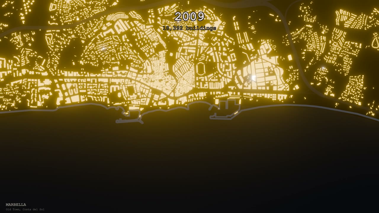
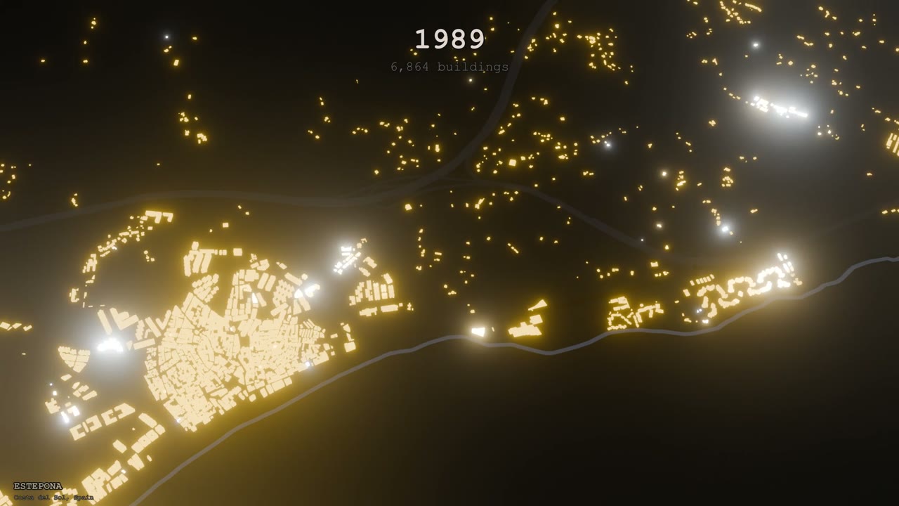
Open data in, film out. No hand-placed buildings.
Catastro INSPIRE building footprints for 12 municipalities (~137k buildings plus parts for floor counts), Overpass roads and coastline, a Copernicus 30 m DEM for terrain, SIOSE land cover and Junta de Andalucía heritage and hydrography layers.
Distance to beaches, schools and supermarkets; a DEM ray-cast sea-view score; land cover in a 200 m buffer; tourist-rental licences matched to buildings. DBSCAN per decade found the moments that became the shot list.
Footprints extruded on a terrain mesh with a hillshade and sea shader. Each building's emission flashes then settles as its year passes; roads and coast glow; the camera moves on smooth-stepped keyframes. Over 7,000 EEVEE frames.
Ten shots faded and concatenated with burned-in titles. The same data is tiled with tippecanoe into a single PMTiles file behind a MapLibre viewer with a year slider, 3D extrusion, terrain and orbit modes.